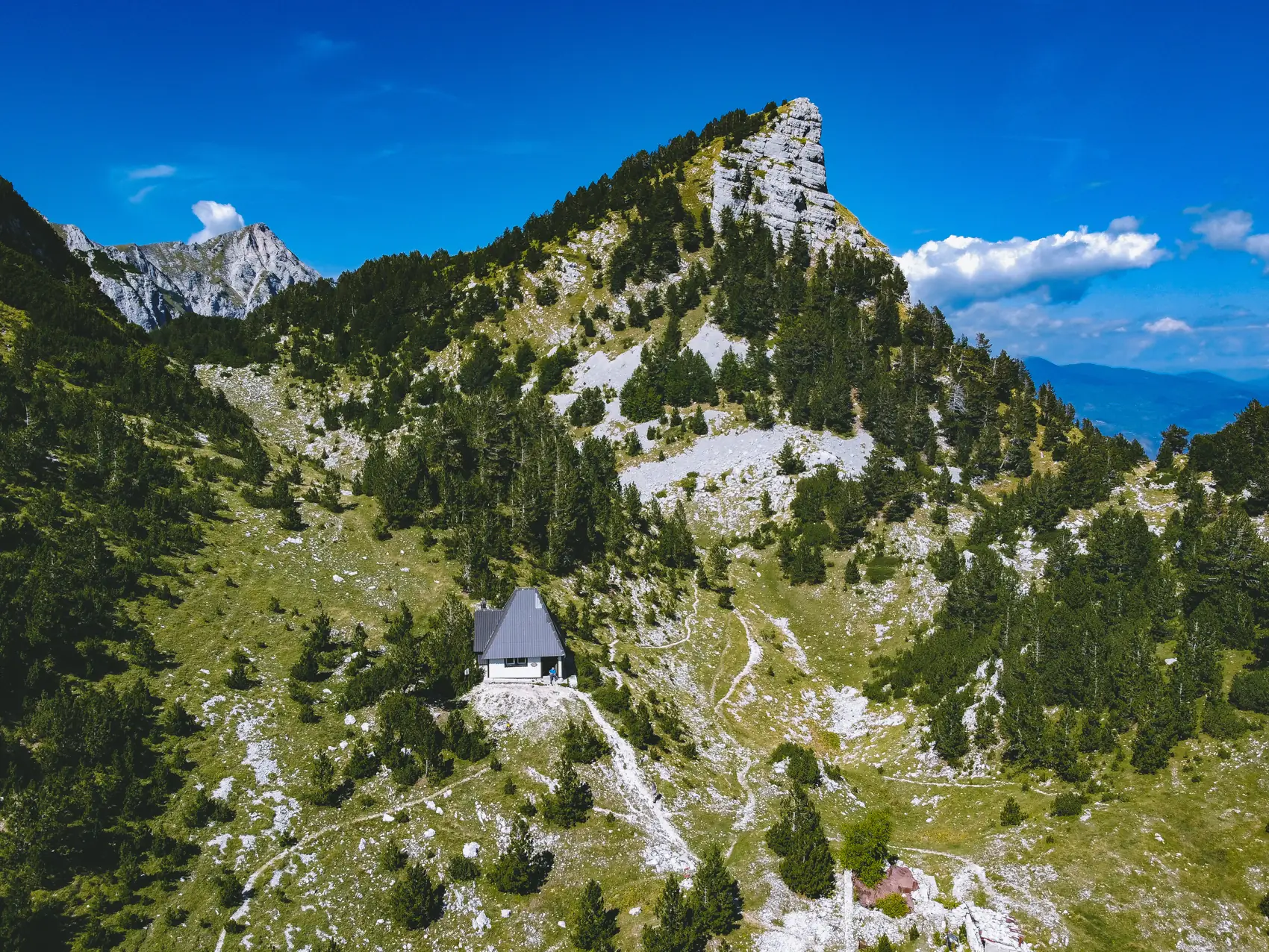
Prenj
Eleven peaks over two thousand metres, and the wildest mountain in the country.
Prenj in brief. Prenj is a mountain massif in Herzegovina, between Konjic, Jablanica and Mostar. It has at least eleven peaks above 2,000 metres, of which the highest is Zelena glava, at about 2,155 metres. Its sharp limestone summits have earned it the name “the Herzegovinian Himalaya”, and mountaineers regard it as the most beautiful and most demanding range in Bosnia and Herzegovina. It is a mountain for experienced walkers, with long approaches, little water and few huts. Parts of it were a front line in the 1990s, and walkers must keep to marked trails.
Planet Prenj
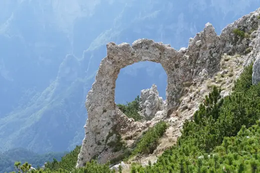
Most of the mountains of Bosnia and Herzegovina are broad-backed and grassy. Prenj is not. It is a crowd of grey rock towers, fins and pyramids, packed together above deep green valleys, and it looks as though it had been lifted out of the Alps and set down above the Neretva.
Local climbers call it Planet Prenj, as if it were somewhere else altogether. One of its summits was first climbed as late as 2003, which made it among the last two-thousand-metre peaks in Europe to be reached.
It gives nothing away easily. The valleys that lead in are long, the climbs are steep, there is almost no water on the heights, and the weather turns fast.
- What it is
- A mountain massif
- Highest peak
- Zelena glava, about 2,155 m
- Peaks over 2,000 m
- At least eleven
- Level
- Hard; for experienced walkers
- Season
- June to September
- Base
- The hut at Jezerce
- Reached from
- Konjic, Jablanica or Mostar
To Zelena glava
The classic ascent from the Konjic side. A very long day, or better, two with a night at the hut.
Bijela
Drive up the valley from Konjic to the end of the gravel road. The marked trail starts there.
Up through the forest
A long, steady climb beside the stream bed. This stretch passes close to mined ground. Stay on the path.
Jezerce
A mountain hut on a grassy shelf, with a spring behind it: the only water on the route.
The saddle
South-west below the cliffs to the gap between Zelena glava and its neighbour, Otiš.
Zelena glava
The last 150 metres are a scramble, with a fixed cable on the steepest part.
In all: about 1,700 metres of climbing from the valley. Ten to twelve hours there and back.
Good to know
- Mines
- Landmines may remain on Prenj away from the used paths. Go only on a route a local guide has confirmed, obey every warning sign and closure, and take no shortcuts across country. A painted trail mark is not proof that the ground beside it is clear
- Guide
- Take one. A local mountain guide knows which routes are in use this season, and where the water is
- Water
- One spring, at Jezerce. Carry at least three litres
- Season
- June to September. Snow lies into June
- Weather
- Changes quickly. Turn back if cloud comes down
- Huts
- Jezerce is the main one. Book ahead through a mountaineering club
- Fitness
- You need to be properly fit and used to long days
Check the exact route first. Plan a Prenj walk with a qualified local guide and check current access and mine-risk information for the exact route before setting out. Do not take cross-country shortcuts or leave the agreed route. Respect warning signs and closures. A painted trail mark, an online route or the absence of a warning sign is not proof that land has been cleared. Ask BHMAC or the relevant municipal civil-protection service for information about the location you intend to visit.
Getting to Prenj
| From | Distance | How | Time |
|---|---|---|---|
| Konjic | About 15 km | Car, up the Bijela valley, to the trailhead | 40 minutes |
| Mostar | About 35 km | Car, to Rujište | 50 minutes |
| Sarajevo | About 75 km | Car, to Konjic | 1¼ hours, plus the valley road |
The valley roads are rough. Distances and times are approximate.
Ways onto the mountain
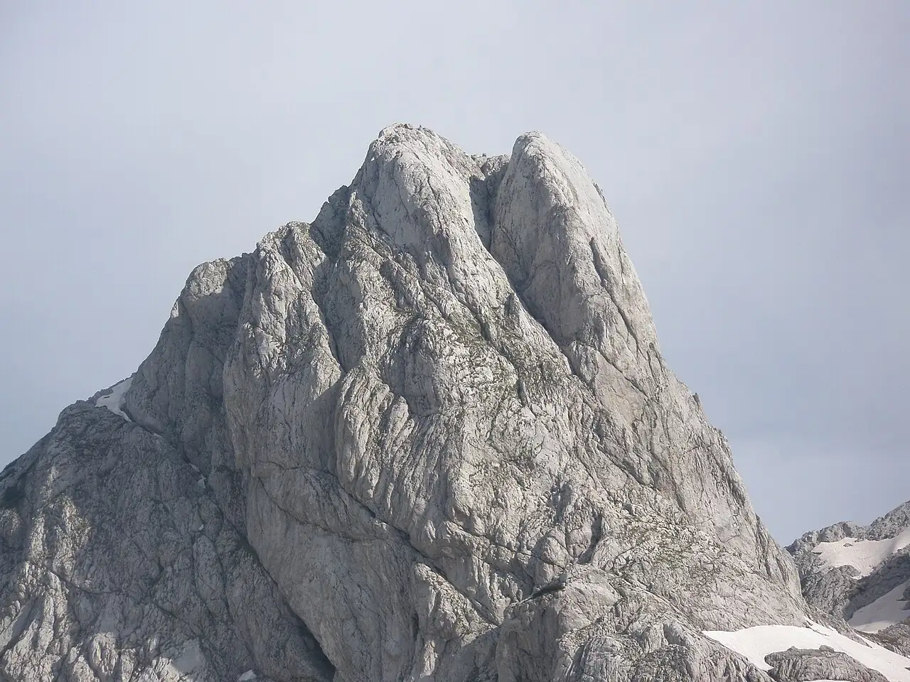
From Konjic
Up the Bijela valley to Jezerce and on to Zelena glava and Otiš. The classic route, and the one described here.
- Climb
- About 1,700 m
- Time
- 10 to 12 hours, or two days
- Level
- Hard
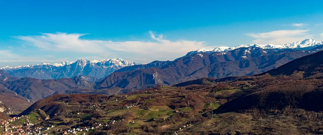
From Mostar
From Rujište, about 35 km above Mostar, trails lead into the southern end of the range, among stands of rare white-barked pine.
- From Mostar
- About 35 km
- Good for
- Shorter walks
- Level
- Moderate to hard
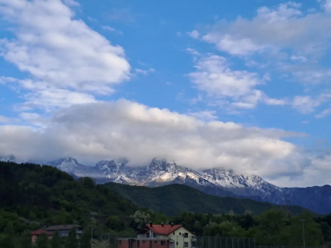
Just look at it
You do not have to climb Prenj to enjoy it. The view of the whole range from Jablanica, or from the road over to Blidinje, is one of the sights of the country.
- Best from
- Jablanica
- Best light
- Morning
- Effort
- None
Prenj in numbers
- 11peaks over two thousand metres, at least
- 2,155mZelena glava, the highest, by most accounts
- 2003the year one of them was first climbed
- 1spring on the main route. Carry water
Where it is
Outline from Natural Earth. Distances are by road and approximate.
Prenj is in Herzegovina, in the bend of the Neretva between Konjic, Jablanica and Mostar.
Where to stay and eat
Where to stay
In Konjic the night before, and at the Jezerce hut on the mountain.
What to eat
Carry everything. The hut can provide simple meals if arranged in advance.
Near Prenj
Prenj stands over the road from Sarajevo to Mostar for forty kilometres.
Questions people ask
How high is Prenj?
Its highest peak, Zelena glava, is about 2,155 metres. At least eleven of its peaks are over 2,000 metres.
Why is Prenj called the Herzegovinian Himalaya?
Because of its sharp, bare limestone peaks, which look quite unlike the rounded mountains around it.
Is it safe to hike on Prenj?
Only with current, route-specific advice. See the safety note on this page: a trail mark or the absence of a warning sign is not proof that land has been cleared.
How hard is the climb to Zelena glava?
Hard. From the Konjic side it involves about 1,700 metres of climbing and takes ten to twelve hours, with a scramble and a fixed cable at the top.
When can you hike on Prenj?
From June to September.
Prenj is a two-day extension from Konjic, reached on day six of the seven-day route.