Drina canyon
- Home
- Places
- Republika Srpska
- Drina canyon
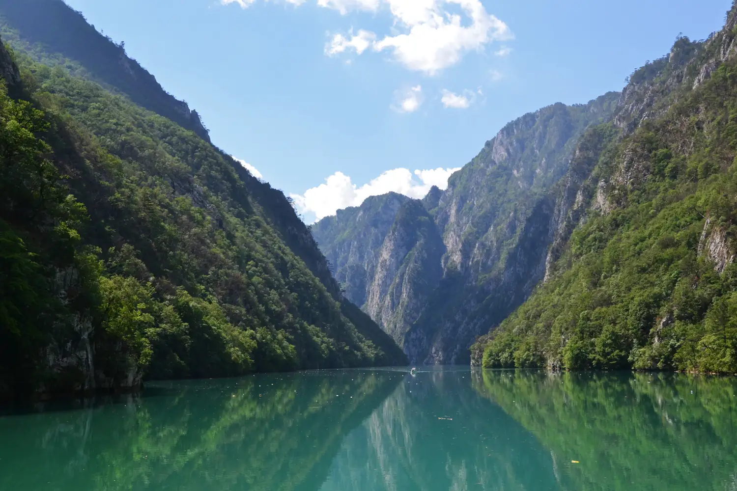
Thirty kilometres of cliffs and green water, with no road in.
Drina canyon in brief. The Drina canyon is a gorge on the river Drina, downstream from Višegrad in eastern Bosnia and Herzegovina, on the border with Serbia. A dam at its lower end has turned the river into a narrow lake 54 km long, and for more than 30 km of that it runs between cliffs with no road or settlement on either bank. In places the canyon is over 1,000 metres deep. The only way to see it is by boat. Trips start under the old bridge in Višegrad and range from a short outing to a full day.
The river with no road beside it
A few kilometres below Višegrad the hills close in on the Drina and the road gives up. From there the river runs alone between rock walls for most of a day’s sailing.
The gorge includes steep cliffs and stretches with little road access. Wildlife sightings are possible but should not be promised.
The water is still and deep, a green so strong it looks dyed. In the 1960s a dam was built at the far end of the gorge, and it drowned the rapids that once made this river famous among raftsmen. What it left is a long, calm lake at the bottom of a canyon.
- What it is
- A river gorge
- The lake
- 54 km long
- Roadless stretch
- More than 30 km
- Depth of the canyon
- Over 1,000 m in places
- Seen
- By boat only
- Starts
- Under the bridge at Višegrad
- Full trip
- About 3½ hours each way
Down the canyon, stage by stage
What a boat from Višegrad passes on the way down. Most trips turn back part way.
Višegrad
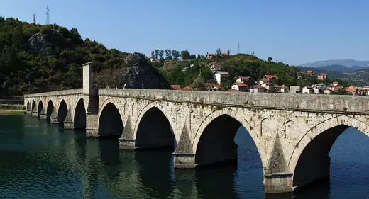
Boats leave from the quay beside the old bridge, and pass under its arches as they set off.
Into the gorge
The valley narrows, the road ends, and the first cliffs come down to the water.
Stari Brod
A landing on the bank with a small memorial museum, opened in 2019. The usual stop on a short trip.
The mouth of the Žepa
A side river comes in from the left through a gorge of its own. Above it, out of sight, is a famous old stone bridge.
The narrows
The deepest and tightest part of the canyon, where the walls rise a thousand metres.
Perućac
The dam at the end of the lake, on the Serbian side.
Good to know
- Season
- Spring to autumn
- Booking
- Arrange a day ahead, at the quay or the tourist office in Višegrad
- Prices
- By the boat and the distance. Agree the price, and what it includes, before you board
- Border
- The far bank is Serbia. Before you board, ask whether the boat lands there and what has been arranged with the border police. A passport on its own is not permission to cross
- Weather
- Cooler on the water than in town. Bring a layer
- Swimming
- Some boats stop for a swim. The water is deep and cold
Getting to Drina canyon
| From | Distance | How | Time |
|---|---|---|---|
| Višegrad | At the quay | On foot from the bridge | 5 minutes |
| Sarajevo | About 115 km | Car or bus, to Višegrad | 2 to 2½ hours |
Distances and times are approximate.
Choosing a trip
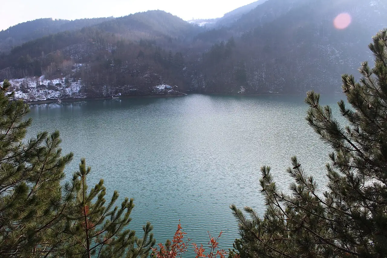
A short trip
To Stari Brod and back: the beginning of the gorge, enough cliffs to understand it, and home for lunch.
- Distance
- 17 km each way
- Time
- Half a day
- Good for
- Families
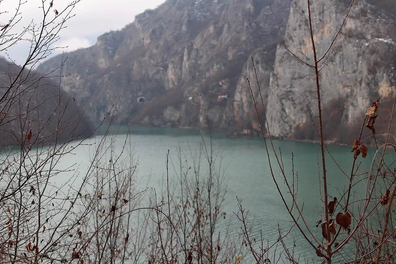
To the Žepa
Further, to where the side river joins and the canyon is at its deepest.
- Distance
- 22 km each way
- Time
- Most of a day
- Usually with
- Lunch on the bank
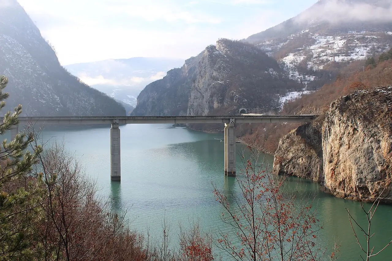
The whole canyon
All the way to the dam and back. A long day on the water.
- Distance
- 52 km each way
- Time
- A full day
- Bring
- Your passport. The far bank is Serbia, so ask the skipper whether the trip lands there and what he has arranged with the border police.
Walls of rock
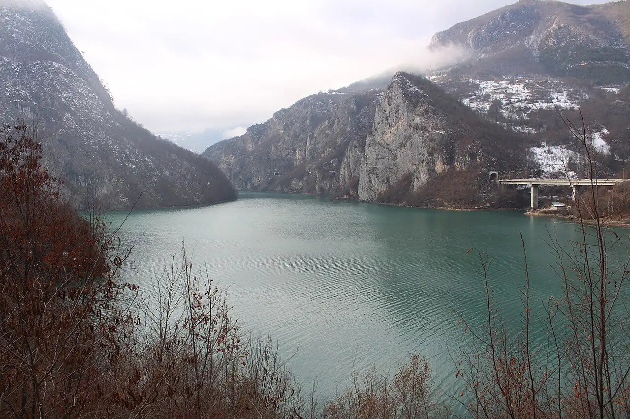
The cliffs are pale limestone, streaked grey and orange, and they go straight down into the water. A few metres from the bank the lake is already deep.
Pines grow on every ledge. In autumn the scrub between them turns copper, and in winter the tops are white while the water stays green.
The middle of the lake is the border. The far bank is Serbia, and a national park.
- Rock
- Limestone
- Narrowest
- About 150 m across
- The far bank
- Serbia
Where it is
Outline from Natural Earth. Distances are by road and approximate.
The Drina canyon lies downstream of Višegrad, in the far east of Bosnia and Herzegovina, along the border with Serbia.
Where to stay and eat
Where to stay
Stay in Višegrad. There is simple accommodation at one of the landings in the canyon.
What to eat
Most long trips include lunch on the bank: fish from the river, grilled.
Near Drina canyon
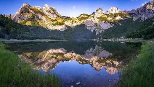
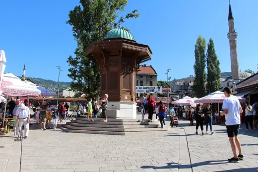
The canyon and the bridge are one visit: the town in the morning, the river in the afternoon.
Questions people ask
Where is the Drina canyon?
On the river Drina downstream from Višegrad, in eastern Bosnia and Herzegovina, on the border with Serbia.
How deep is the Drina canyon?
Over 1,000 metres in places, which makes it one of the deepest river canyons in Europe.
How do you see the Drina canyon?
By boat. Trips leave from the quay beside the old bridge in Višegrad.
How long is the boat trip through the Drina canyon?
The whole canyon, from Višegrad to the dam at Perućac, is 52 km and takes about three and a half hours each way. Shorter trips of half a day are more usual.
Do you need a passport for the Drina canyon boat trip?
Carry it. The middle of the lake is the border with Serbia.
The Drina canyon is an extra day beyond the seven-day route, with Višegrad.