Foča and the Tara
- Home
- Places
- Republika Srpska
- Foča and the Tara
The clearest river in the country, and the town that runs its rafts.
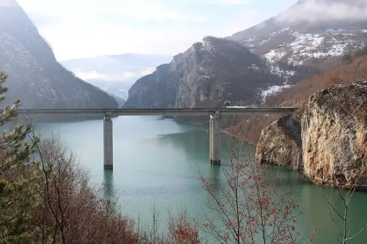
Foča and the Tara in brief. Foča is a town on the Drina in the east of Bosnia and Herzegovina, and the base for rafting on the Tara. The Tara runs for its last stretch along the border with Montenegro, through a deep wooded canyon, before joining the Piva to form the Drina. Rafting camps line the rivers near the town. Nine kilometres away are the sand pyramids, pillars of eroded clay that look as if they belong in another continent. Sutjeska National Park is half an hour to the south.
Where the Drina begins
Two mountain rivers, the Tara and the Piva, meet a little way upstream of Foča. From that point the water is called the Drina. Almost everyone who comes here comes for the first of the three.
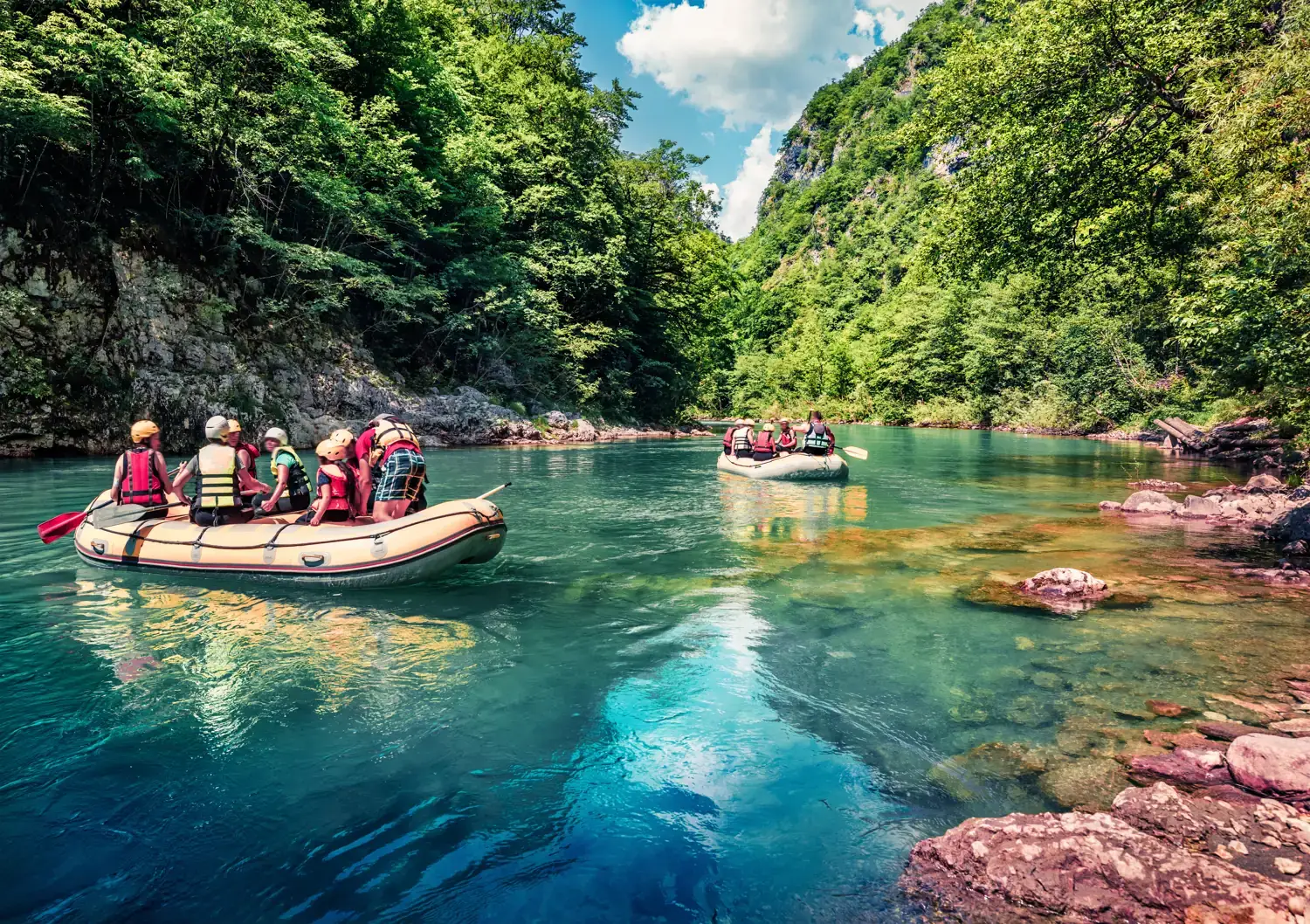
The Tara is cold, astonishingly clear and green, and for a day’s rafting it gives you a bit of everything: long still pools where you can see the stones on the bottom, and rapids that soak the whole boat.
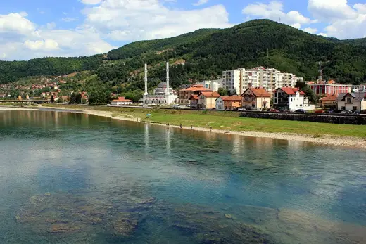
Foča itself is an old Ottoman trading town on the Drina, quiet now, and useful mainly as the place where the roads, the camps and the national park all meet.
- What it is
- A river town and rafting base
- Rivers
- Tara, Piva and Drina
- Known for
- Rafting the Tara canyon
- Season
- April to October
- Sand pyramids
- 9 km from town
- Sutjeska National Park
- About 25 km
Besides rafting
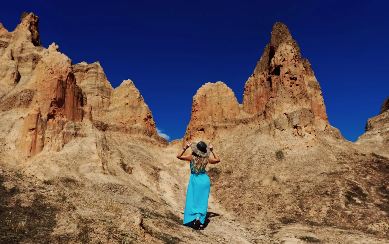
Nine kilometres out of town, on the road towards Sarajevo, the hillside breaks into a row of ochre pinnacles. These are the sand pyramids: sandy clay worn into spires by rain and frost, and still changing shape. There are steps and viewing points.
The Drina below the town is a different river from the Tara: broad, slow and green, with fishermen’s huts on rocks in midstream.
And half an hour south is Sutjeska, with the primeval forest and the highest mountains in the country.
- Sand pyramids
- 9 km; signposted
- Sutjeska
- Half an hour south
- The Drina
- For a quiet float
Good to know
- Before you book
- Say how well you swim and whether you have rafted before. Ask which stretch you will run and how high the water is. See the rafting page
- The border
- The Tara runs along the border with Montenegro. Your outfitter deals with the border police; bring your passport to the camp
- Water
- Cold all year. Wetsuits are provided
- Season
- April to October. High water in spring; gentler in late summer
- Getting there
- By car from Sarajevo, about 75 km
- Staying
- Most visitors stay at a rafting camp
Follow your guide. The right thing to do on the river depends on the section and the day’s water. Wear the buoyancy aid and helmet you are given, listen to the briefing, and follow your guide’s instructions.
Getting to Foča and the Tara
| From | Distance | How | Time |
|---|---|---|---|
| Sarajevo | About 75 km | Car or bus | 1½ hours |
| Tjentište, in Sutjeska | About 25 km | Car | 40 minutes |
| Goražde | About 30 km | Car | 40 minutes |
Distances and times are approximate.
What to do
Raft the Tara
The classic day. Trips are run by the camps round Foča, usually with a meal before and after.
- Season
- April to October
- Liveliest
- April and May
- Book
- A guided trip, in advance
Walk to the sand pyramids
A short detour by car and a few minutes on foot to the viewing points.
- From Foča
- 9 km
- Time needed
- An hour
- Level
- Easy
Find the hut on the rock
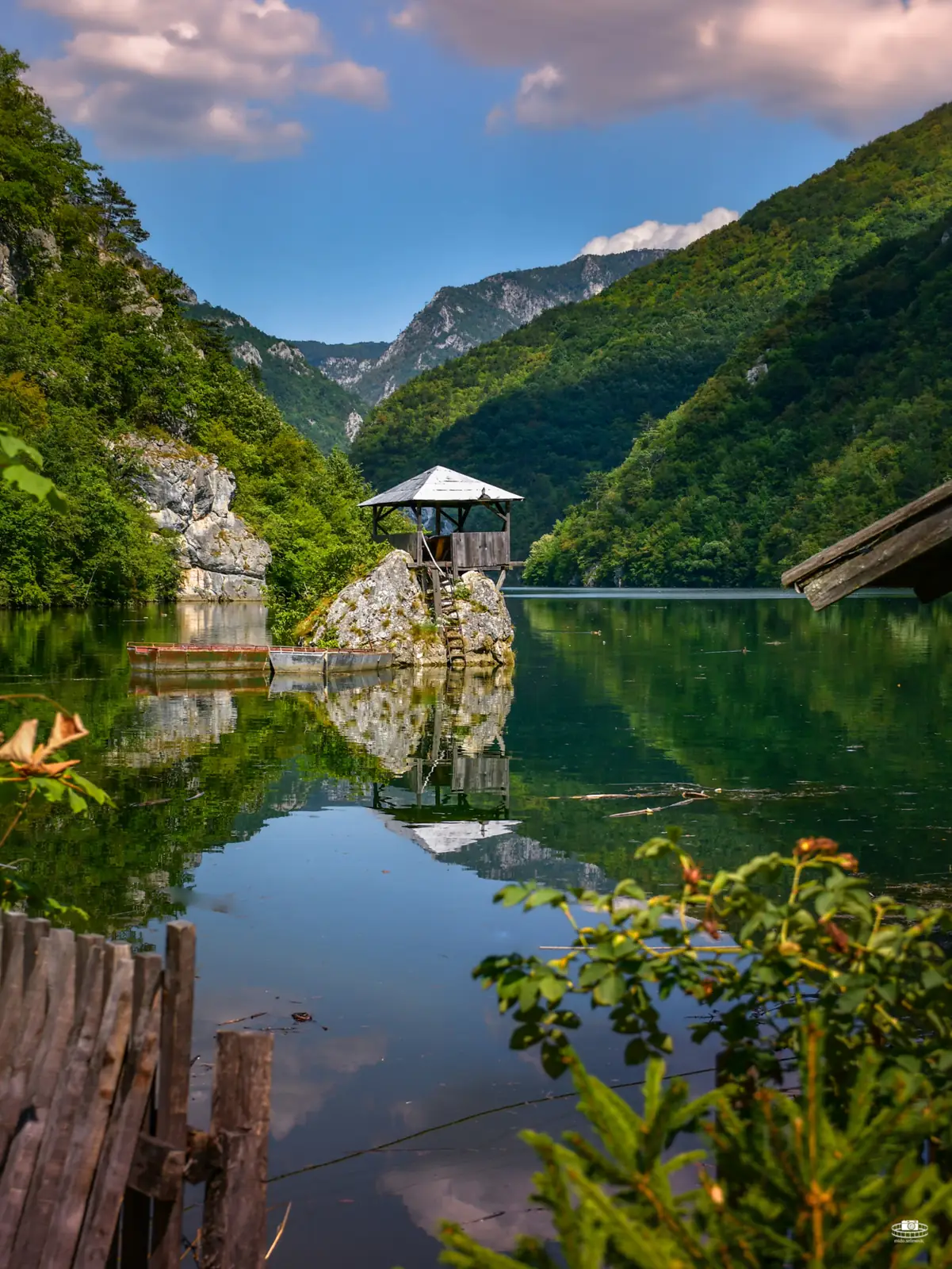
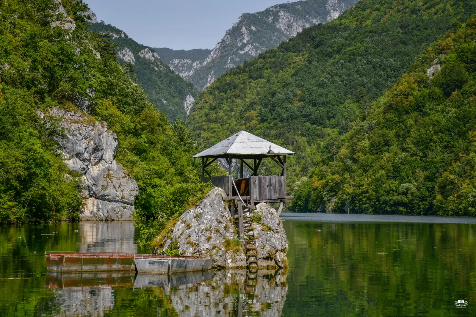
On the Drina, a tiny wooden house perches on a boulder in the river. It has become one of the most photographed things in the east of the country.
- Where
- On the Drina
- Time needed
- A stop
- Best light
- Morning
Where it is
Outline from Natural Earth. Distances are by road and approximate.
Foča is in the east of Bosnia and Herzegovina, on the Drina, near the border with Montenegro.
Where to stay and eat
Where to stay
At a rafting camp on the river, or in the town.
What to eat
The camps cook for their guests; lamb and river trout are usual.
Near Foča and the Tara
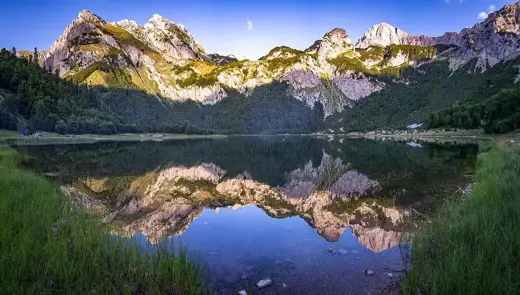
Foča sits between the river and the national park. Most people do both.
Questions people ask
Where do you go rafting on the Tara in Bosnia and Herzegovina?
From the camps round Foča, in the east of the country. The Tara runs along the border with Montenegro before joining the Piva to form the Drina.
When is the rafting season on the Tara?
April to October. The water is highest and fastest in April and May.
What are the sand pyramids near Foča?
Pillars of sandy clay shaped by erosion, 9 km from the town on the road towards Sarajevo. There are steps and viewing points.
How far is Foča from Sarajevo?
About 75 km, an hour and a half by road.
Is rafting on the Tara suitable for beginners?
Some guided trips are, depending on the section and the water level. Say what experience you have and ask before you book.
Foča and the Tara are a two-day extension to the seven-day route, with Sutjeska National Park.