Maglić
The top of the country, on the edge of a primeval forest.
Maglić in brief. Maglić is the highest peak in Bosnia and Herzegovina, at 2,386 metres, on the border with Montenegro in Sutjeska National Park. It is a serious mountain climb that needs a full day, proper equipment and settled weather. There is more than one approach, and they differ in exposure and difficulty. Choose a route with a mountain guide who knows the current conditions, and check the border procedure before going anywhere near Trnovačko lake, which is in Montenegro.
The highest ground
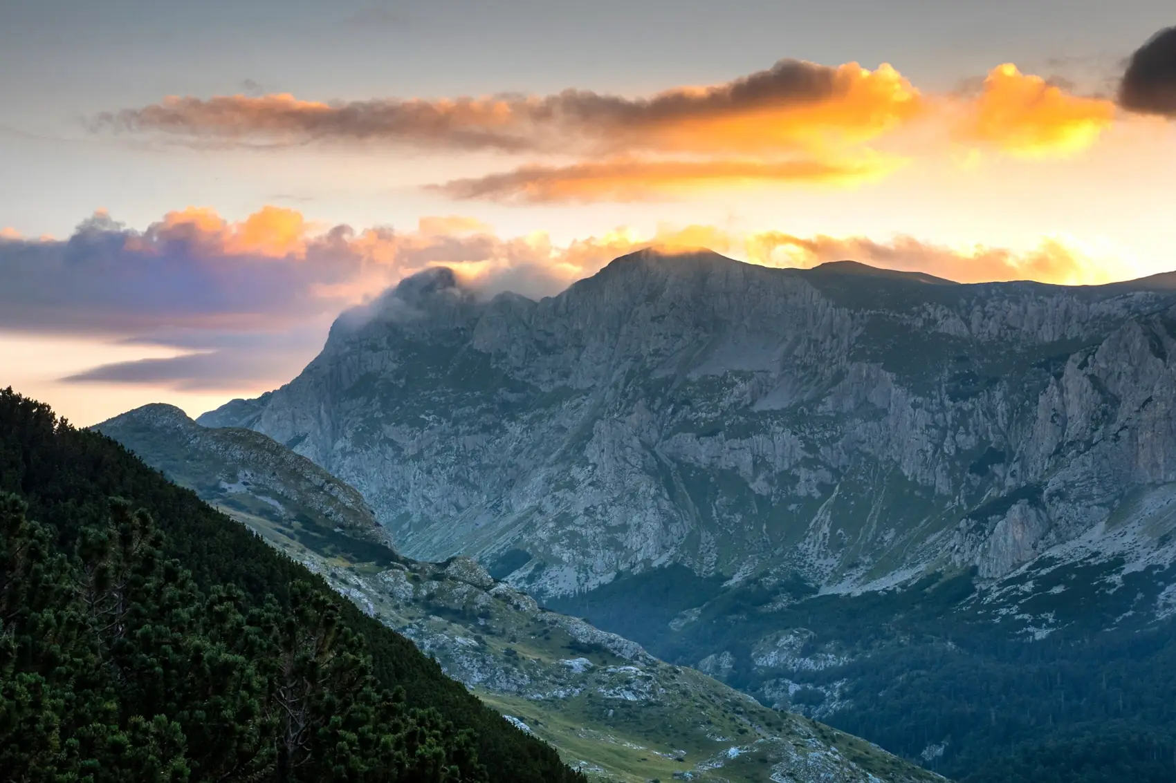
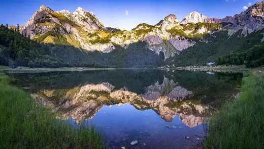
Maglić does not look like the highest mountain in the country until you are close. It hides behind its own forest. Then, from the high meadows, it is suddenly all there: a grey limestone wall with a notched skyline.
The name means something like “the misty one”, and it is fair. Cloud forms on the summit on many summer afternoons, which is why people who climb it start early.
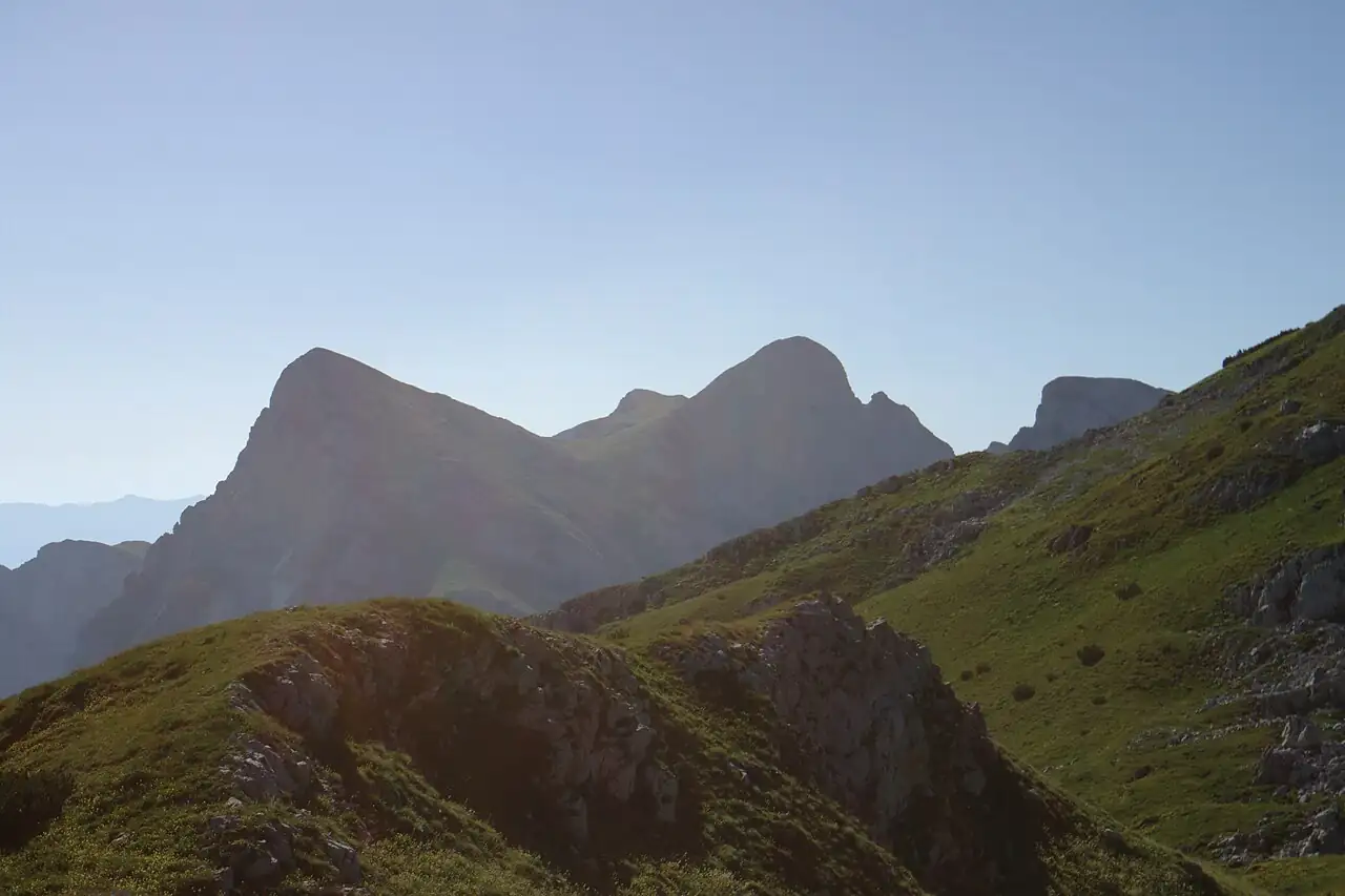
The summit has a twin. A short way along the ridge, across the border, is a second top two metres higher.
- What it is
- The country’s highest peak
- Height
- 2,386 m
- Where
- Sutjeska National Park
- Level
- Hard; a full mountain day
- Season
- Summer, in settled weather
- Guide
- Strongly advised. The national park can arrange one.
- Border
- Trnovačko lake, below the summit, is in Montenegro. Read the border section before you plan to go there.
What you see from the top
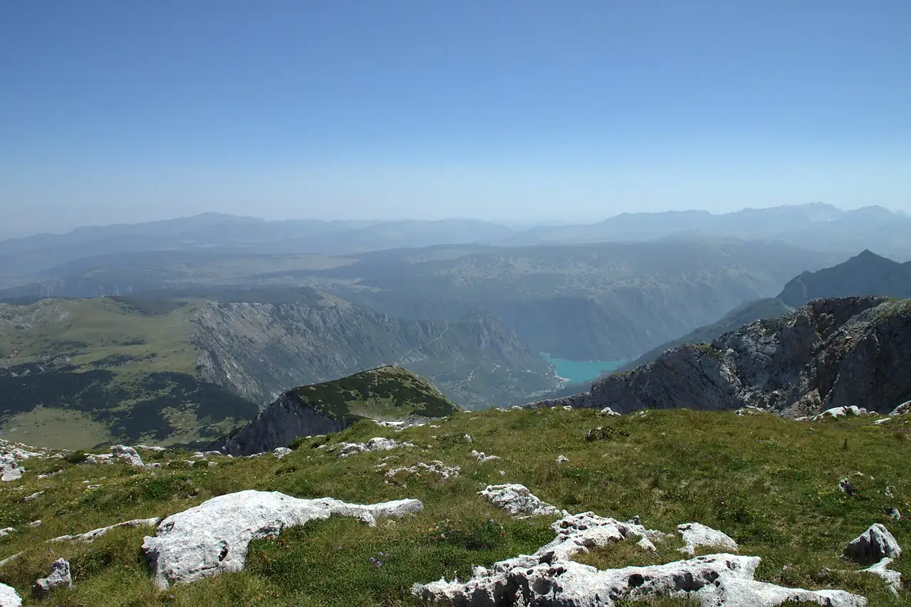
The summit is a narrow crest of broken rock, with a border running along it.
Below is Trnovačko lake, green in its bowl. Beyond it the Montenegrin mountains run south to Durmitor. Behind you is the dark mass of the Perućica forest.
Most people take their photographs, eat something and start down within half an hour.
- Below
- Trnovačko lake
- To the south
- Durmitor
- Behind
- Perućica
Good to know
- Fitness
- You need to be properly fit, sure-footed and comfortable with heights
- Start
- Early. Afternoon cloud and storms are common
- Road access
- The forest road to the high meadows is rough and unsurfaced. Ask at the park office in Tjentište whether an ordinary car will get up it
- Park charges
- 20 KM a day for an adult in 2026. Keep the ticket with you for the whole day
- Equipment
- Mountain boots, warm and waterproof layers, and food and water for a full day. Ask your guide what else the route needs.
- Border
- Trnovačko lake, below the summit, is in Montenegro. Read the border section before you plan to go there.
- Official links
- Border Police of Bosnia and Herzegovina
Know when to turn back. Do not start in doubtful weather, and do not go on if cloud comes down. Conditions on the mountain change the difficulty of every route.
Getting to Maglić
| From | Distance | How | Time |
|---|---|---|---|
| Tjentište | In the park | The base for the climb | Ask the park about the road beyond |
| Foča | About 25 km to Tjentište | Car | 40 minutes |
| Sarajevo | About 110 km to Tjentište | Car | 2¼ hours |
Stay at Tjentište the night before. Distances and times are approximate.
Before you go
Choose a route with a guide
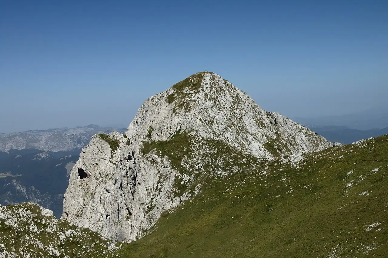
Choose your route with a mountain guide who knows the current conditions. The approaches to Maglić differ in exposure, navigation and the amount of climbing. Snow, poor visibility and the condition of paths and fixed aids can change the difficulty. Ask the park or a qualified local guide to confirm a suitable route, realistic timings, equipment and road access before setting out. A route description on this page is not a navigation guide.
- Guide
- Strongly advised. The national park can arrange one.
- Day’s length
- A full day
- Ask about
- Route, timings, equipment, road access
Trnovačko lake and the border
Trnovačko Lake is in Montenegro. Reaching it on foot from Prijevor involves crossing the international border away from a staffed checkpoint. Carry the travel documents required for your nationality, but do not assume that carrying a passport is enough. Before setting out, arrange the required permission. Published guidance is not consistent on which country’s border police receives the request, and the current regulation in Bosnia and Herzegovina requires a permit application thirty days ahead, so ask the border police of both countries well in advance. Neither a passport nor a guide booking alone establishes permission. Confirm the arrangements for both the outward and return crossing, and keep the confirmation with you.
- The lake
- In Montenegro
- Permission
- Arranged in advance with the border police
- Keep
- The confirmation with you
Where it is
Outline from Natural Earth. Distances are by road and approximate.
Maglić is in the far south-east, on the Montenegrin border, in Sutjeska National Park.
Where to stay and eat
Where to stay
At Tjentište, in the park, the night before and the night after.
What to eat
Carry everything you need for the day.
Near Maglić
Maglić is the summit of a visit to Sutjeska, in both senses.
Questions people ask
How high is Maglić?
2,386 metres. It is the highest peak in Bosnia and Herzegovina. A second top on the same ridge, in Montenegro, is two metres higher.
How hard is it to climb Maglić?
It is a serious mountain day. The approaches differ in exposure and difficulty, and conditions change them. Choose a route with a guide who knows the mountain as it is now.
Do you need a guide for Maglić?
It is strongly advised. The national park can arrange one.
Can you walk from Maglić to Trnovačko lake?
The lake is in Montenegro, and reaching it on foot means crossing the border away from a checkpoint. That needs permission arranged in advance through the border authorities. See the note on this page.
When can you climb Maglić?
In summer, in settled weather. Snow lies late and storms build in the afternoon, so ask the park or your guide what the mountain is doing that week.
Maglić is a two-day extension to the seven-day route, with Sutjeska National Park.