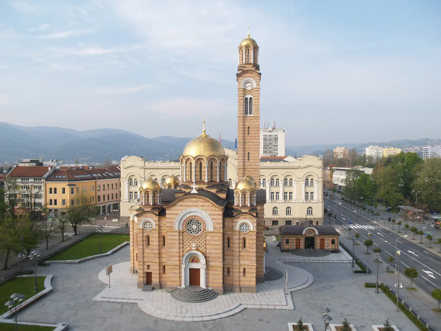
- CityBanja Luka, the largest city, is built along the Vrbas: a fortress on the bank, tree-lined avenues and long evenings outside.
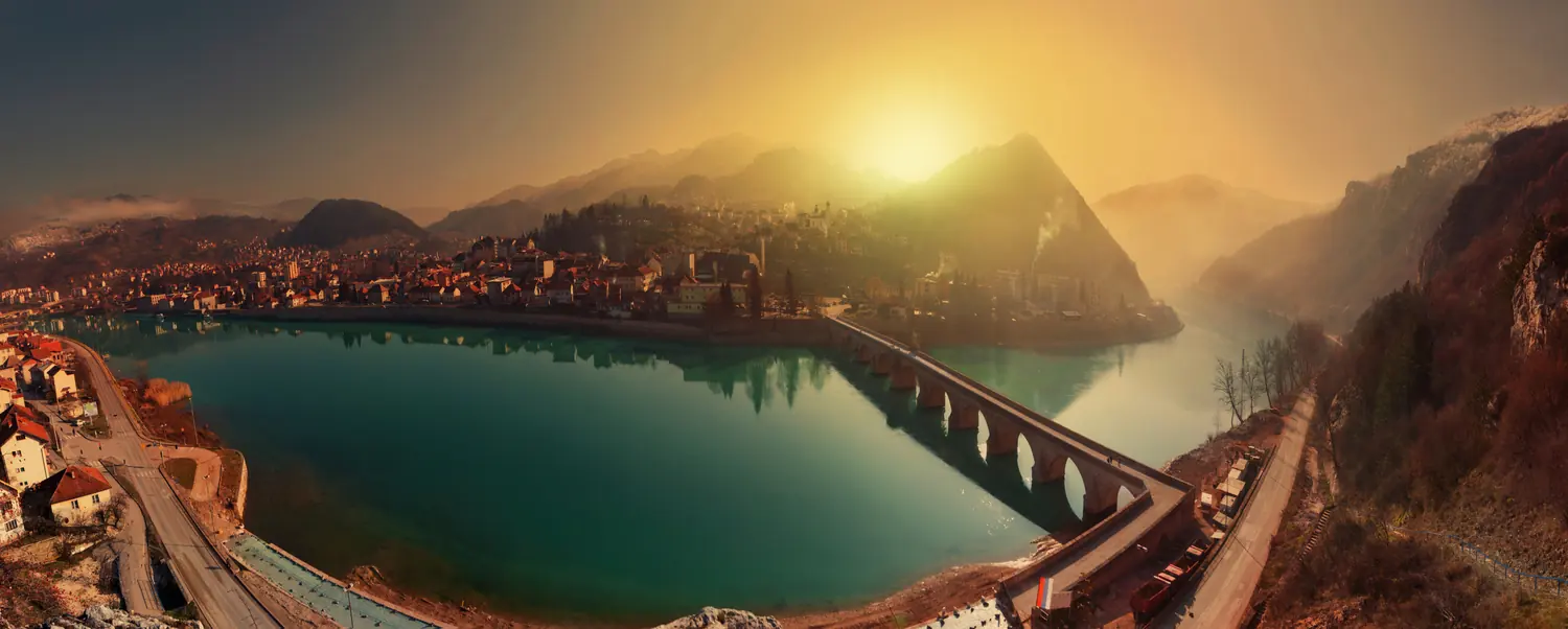
- RiverIn the east the Drina runs green between cliffs, and at Višegrad a bridge of eleven arches crosses it.
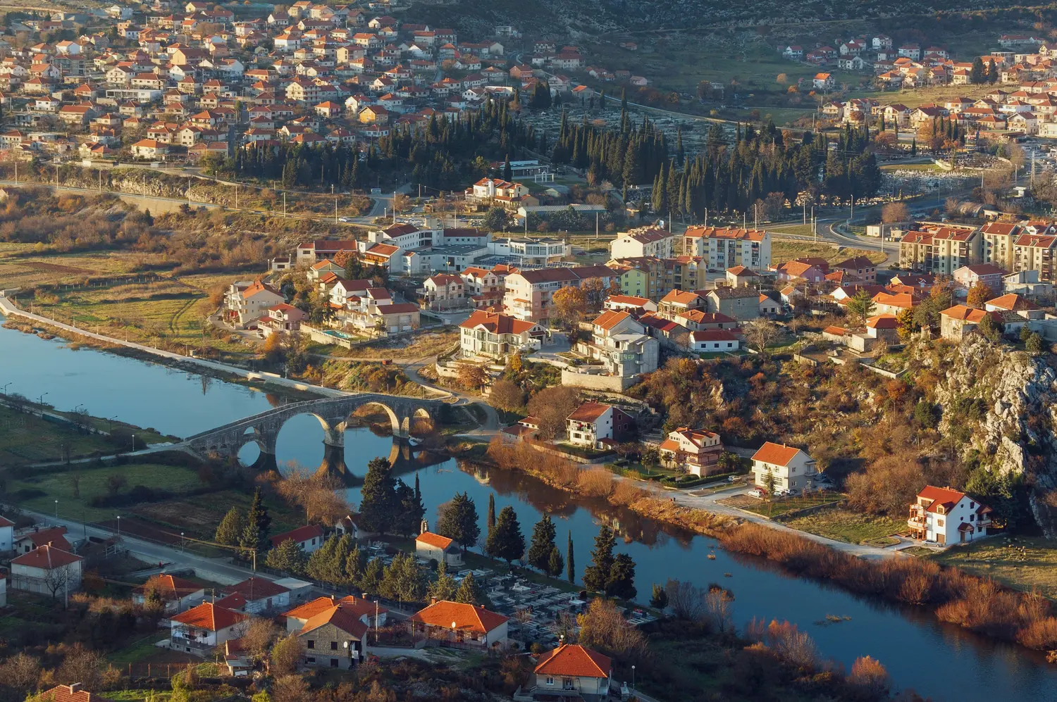
- SunIn the far south, Trebinje sits among vineyards under old plane trees, half an hour from the sea.
- HereRepublika Srpska: an arc across the north and east of the country, down to its southern tip.
Republika Srpska
Republika Srpska in brief. Republika Srpska is one of the two entities of Bosnia and Herzegovina. It runs in an arc across the north and east of the country, from Banja Luka, its largest city, down the river Drina to Trebinje in the far south. It has the sixteenth-century bridge at Višegrad, a World Heritage Site; the national parks of Sutjeska and Kozara; Maglić, the highest peak in the country; and the ski mountain of Jahorina. The places are far apart, so plan it as two or three trips, not one.
- Largest cityBanja Luka
- RiversVrbas, Drina, Tara, Trebišnjica
- Highest pointMaglić, 2,386 m
- Best monthsMay to September; December to March for snow
Places in Republika Srpska
The map shows the places on this page. It does not draw the boundary of Republika Srpska.
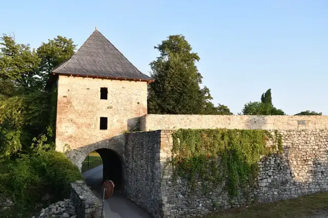 Banja LukaThe Kastel fortress on the Vrbas.163 m
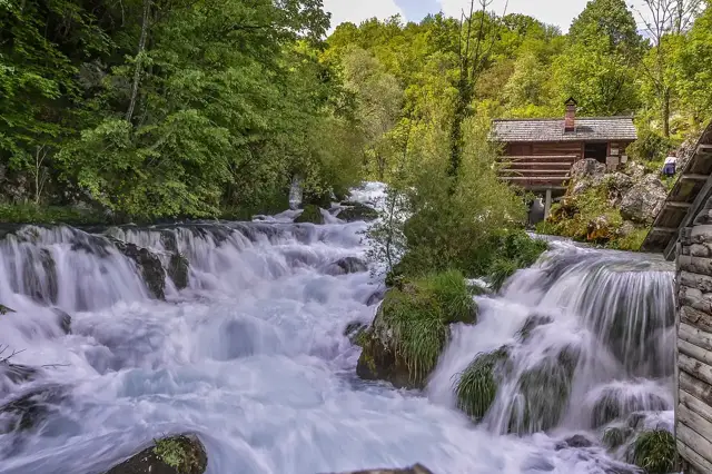 Krupa na VrbasuWatermills, cascades and a monastery beside the Vrbas.250 m
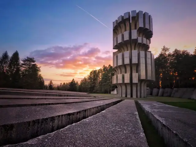 KozaraForested hills and a towering wartime memorial.800 m
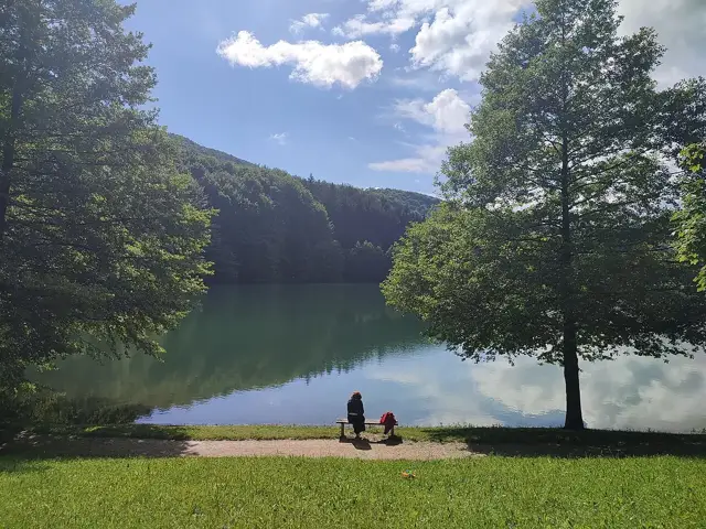 Balkana lakeTwin mountain lakes in a pine forest.750 m
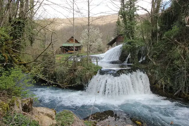 ŠipovoThe springs of the Pliva and the islands of the Janj.440 m
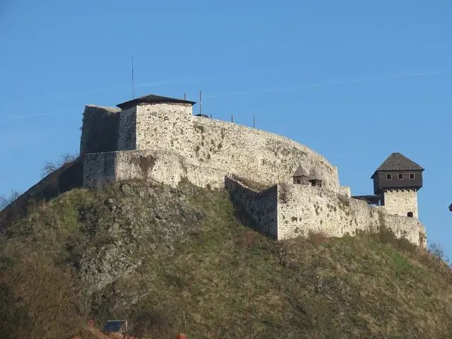 DobojA medieval fortress above the meeting of three rivers.150 m
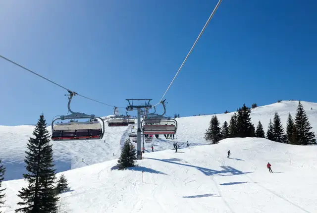 JahorinaThe Olympic ski mountain, half an hour from the capital.1,916 m
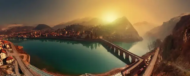 VišegradThe eleven-arched bridge on the Drina.300 m
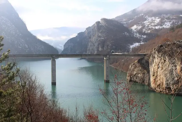 Drina canyonThe river between cliffs, best seen from a boat.300 m
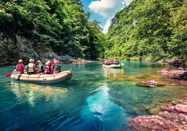 Foča and the TaraThe base for rafting the deepest canyon in Europe.400 m
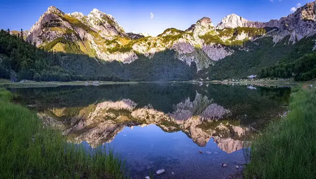 Sutjeska National ParkA primeval forest, a wartime monument and the highest peaks.600 m
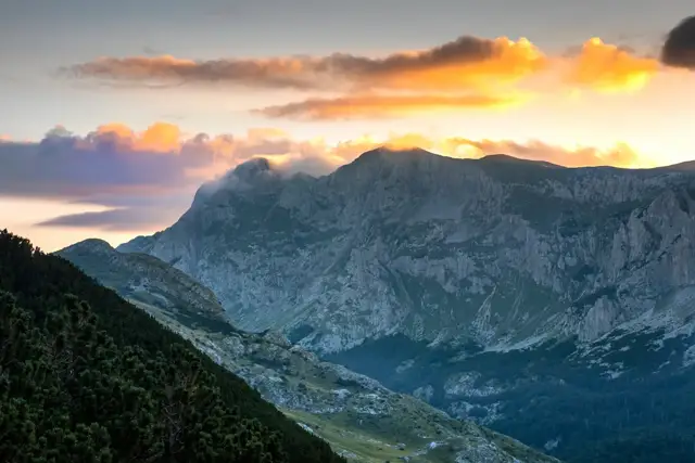 MaglićThe highest peak in the country, on the edge of a primeval forest.2,386 m
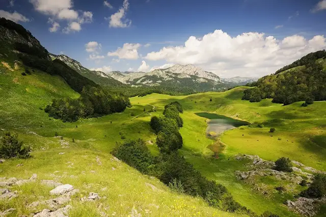 Zelengora lakesSmall high lakes that shepherds call the eyes of the mountain.1,500 m
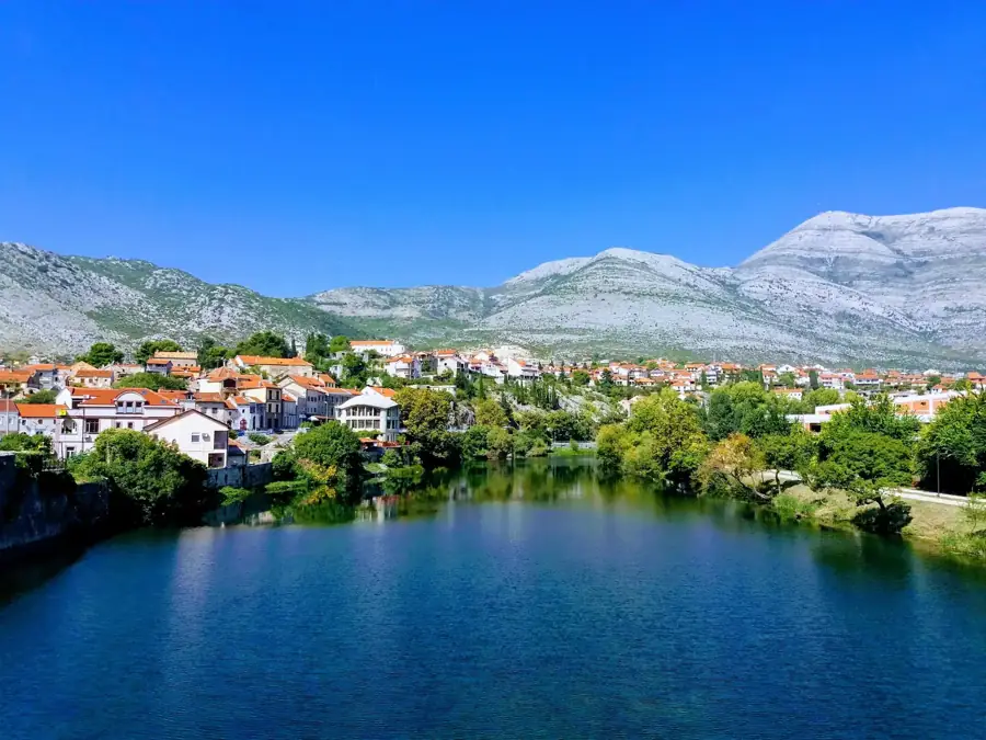 TrebinjePlane trees, a river and a walled old town.275 m
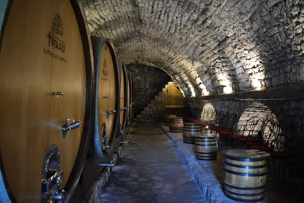 TvrdošA monastery with centuries-old wine cellars.270 m
Eat and drink
Grills in the north, fish on the Drina, wine in the south
Banja Luka has its own ćevapi, unlike any other in the country: four joined together in a single slab, served in flatbread with chopped onion. The city is equally proud of a cheese first made by Trappist monks at the abbey on its edge.
On the Drina, order whatever came out of the river that morning, grilled, on a terrace over the water. Round Trebinje the hills are stony and hot, which is what vines like: Žilavka is the white, and you can drink it where it is made in the monastery cellars at Tvrdoš.
- Banjalučki ćevapiFour joined in a slab, in flatbread with onion
- TrapistA mild cheese from the monks’ recipe
- Riba s DrineRiver fish, grilled plain
- ŽilavkaThe dry white wine of the south
- ŠljivovicaPlum brandy, distilled at home
- KajmakThick clotted cream, with bread
Three trips, not one
- 1
Banja Luka and the Vrbas
Two days. The fortress on the river and the old centre, then south through the canyon to the mills at Krupa na Vrbasu.
A third. Kozara, 56 km to the north-west, for the forest and the monument.
- 2
The Drina and Sutjeska
Two days. Višegrad: the old bridge at dusk, and a boat into the Drina canyon.
Two more. South through Foča to Sutjeska: the memorial at Tjentište and the viewpoint over the primeval forest.
- 3
Trebinje
A day or two. The old town, the plane-tree square and the stone bridge, with Tvrdoš monastery a short drive away.
From the coast. Dubrovnik is about 30 km away, with a border crossing.
When to go
Summer for the rivers and the high mountains. Winter for the snow on Jahorina.
- Best months
- Ski season on Jahorina
- In between
Best months: May to September. December to March is ski season on Jahorina.
Getting here
By car or bus, through Travnik and Jajce. Banja Luka also has a small airport.
By car or bus, through Rogatica.
By car or bus. From Mostar it is about 115 km, through Stolac.
Questions people ask
Where is Republika Srpska?
Republika Srpska is one of the two entities of Bosnia and Herzegovina. It covers the north and east of the country, from Banja Luka along the Sava and the Drina, and a strip in the south round Trebinje.
What is there to see in Republika Srpska?
Banja Luka and its fortress on the Vrbas; the Mehmed Paša Sokolović bridge at Višegrad and the Drina canyon; Sutjeska National Park and Maglić, the highest peak in the country; Kozara; the ski mountain of Jahorina; and Trebinje in the south.
What is the largest city in Republika Srpska?
Banja Luka, on the river Vrbas, about 190 km north-west of Sarajevo.
Do I cross a border to visit Republika Srpska?
No. There are no checks between the two entities of Bosnia and Herzegovina, and the same currency, the convertible mark, is used everywhere.
How many days do you need?
Two or three for Banja Luka and the Vrbas, three or four for Višegrad and Sutjeska, and one or two for Trebinje. They are far apart, so most visitors choose one area.
When is the best time to visit?
May to September for the cities, rivers and mountains. December to March for skiing on Jahorina.